Items Similar to Original Antique Print of the Bay of the Island Mauritius, Indian Ocean

Want more images or videos?
Request additional images or videos from the seller
1 of 6
Original Antique Print of the Bay of the Island Mauritius, Indian Ocean
$325.81
$407.2620% Off
£243.63
£304.5420% Off
€272
€34020% Off
CA$448.89
CA$561.1120% Off
A$489.57
A$611.9720% Off
CHF 259.34
CHF 324.1820% Off
MX$5,869.30
MX$7,336.6320% Off
NOK 3,302.88
NOK 4,128.6020% Off
SEK 3,020.24
SEK 3,775.3020% Off
DKK 2,072.75
DKK 2,590.9420% Off
About the Item
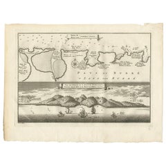
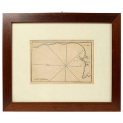
Antique print titled 'Havre de l'Isle Maurice (..) - Haven van 't Eiland Mauritius (..)'. Bird's eye view of the bay of Mauritius. Originates from a Dutch edition of 'Histoire générale des voyages' by Antoine-François Prévost.
Engraved by J. van Schley. Jakob van der Schley (Amsterdam, 1715-1779) was a Dutch draughtsman and engraver, who studied under Bernard Picart, and whose style he subsequently copied.
- Creator:Jakob van der Schley (Artist)
- Dimensions:Height: 10.01 in (25.4 cm)Width: 12.21 in (31 cm)Depth: 0.02 in (0.5 mm)
- Materials and Techniques:
- Period:
- Date of Manufacture:c.1760
- Condition:Wear consistent with age and use. General age-related toning. Repair on (original) folding lines. Minor wear and soiling, blank verso. Please study image carefully.
- Seller Location:Langweer, NL
- Reference Number:Seller: BG-13368-81stDibs: LU3054332299422
About the Seller
5.0
Recognized Seller
These prestigious sellers are industry leaders and represent the highest echelon for item quality and design.
Platinum Seller
Premium sellers with a 4.7+ rating and 24-hour response times
Established in 2009
1stDibs seller since 2017
2,791 sales on 1stDibs
Typical response time: <1 hour
- ShippingRetrieving quote...Shipping from: Langweer, Netherlands
- Return Policy
More From This Seller
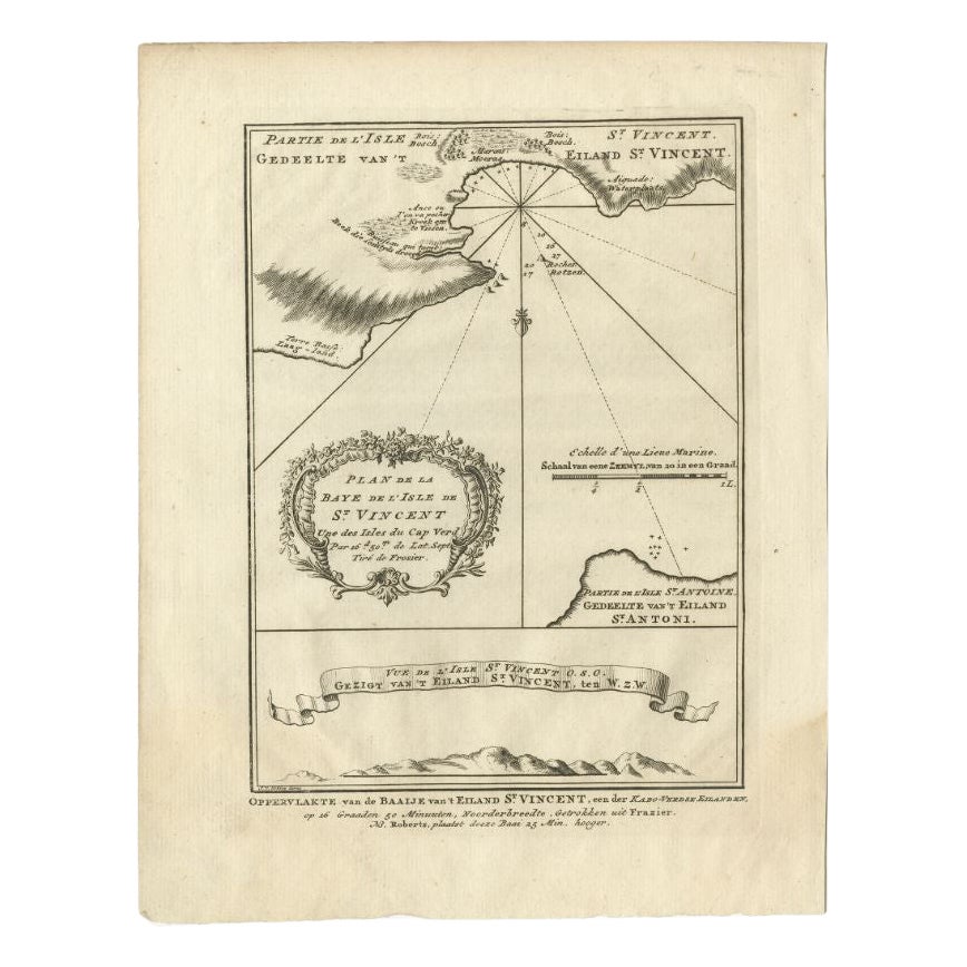
View AllAntique Print of the Bay of the Island of St. Vincent, Capeverdian Islands
By Jakob van der Schley
Located in Langweer, NL
Antique print titled 'Oppervlakte van de Baaije van 't Eiland St. Vincent (..)'. View of the Bay of the Island of St. Vincent, one of the Capeverdian Islands. Originates from a Dutch...
Category
Antique 18th Century Prints
Materials
Paper

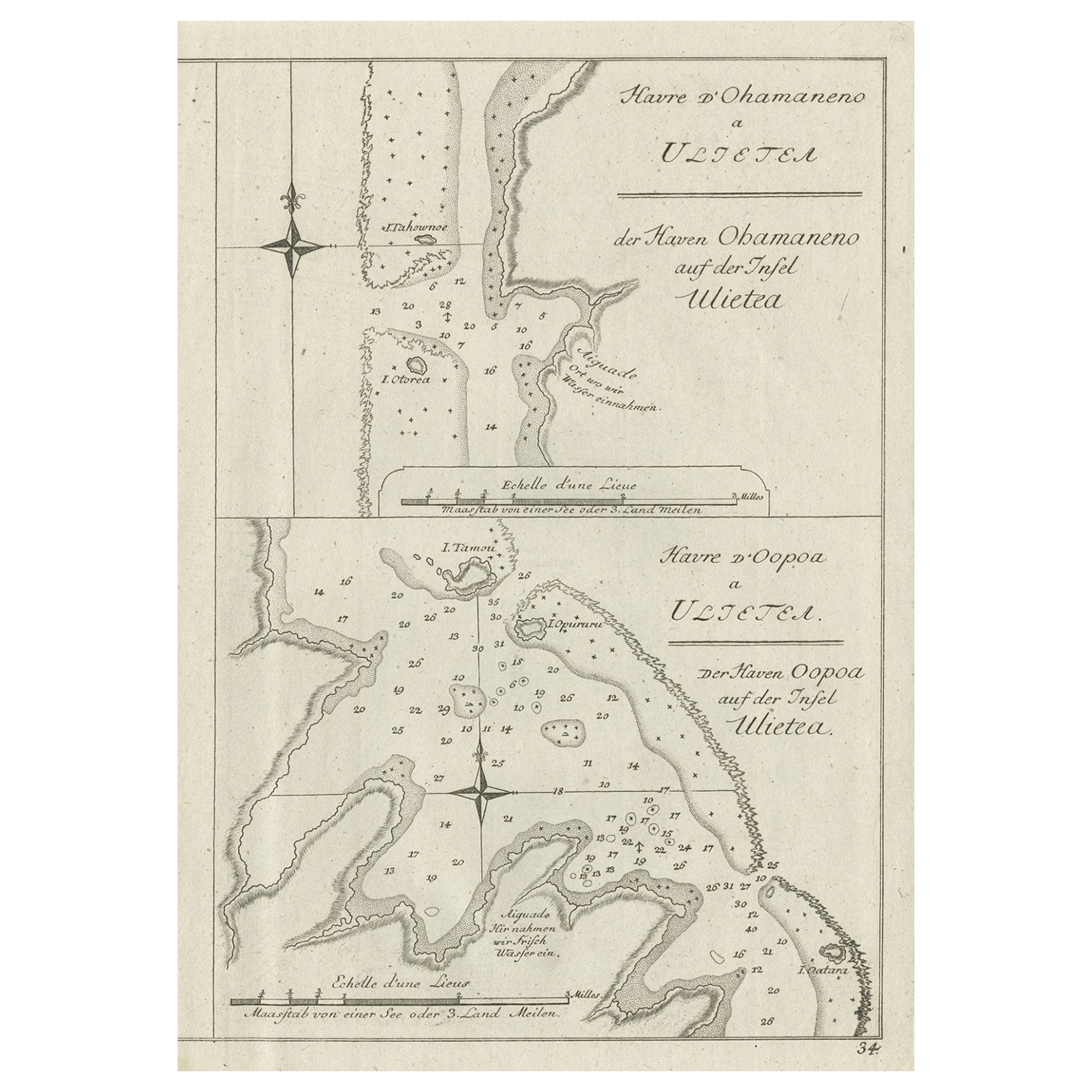
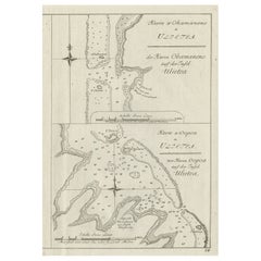
Antique Print of Various Island in French Polynesia, circa 1774
Located in Langweer, NL
Two antique maps on one sheet titled 'Havre d'Ohamaneno a Ulietea' and Havre d'Oopoa a Ulietea'. Also with German subtitles. The upper image depicts Ohamaneno (Vaiaau) Harbour Raiatea (Ulietea) - Leeward Islands...
Category
Antique 18th Century Prints
Materials
Paper
$229 Sale Price
20% Off
Antique Print of the Bay of Sierra Leone by J. Van Der Schley, 1758
Located in Langweer, NL
Beautiful map and bird's-eye view of the Bay of Sierra Leone. While these maps by Van Schley after Bellin were initially made for 'Histoire Generale des Voyages' (Paris, 1746-1759), ...
Category
Antique Mid-18th Century Prints
Materials
Paper
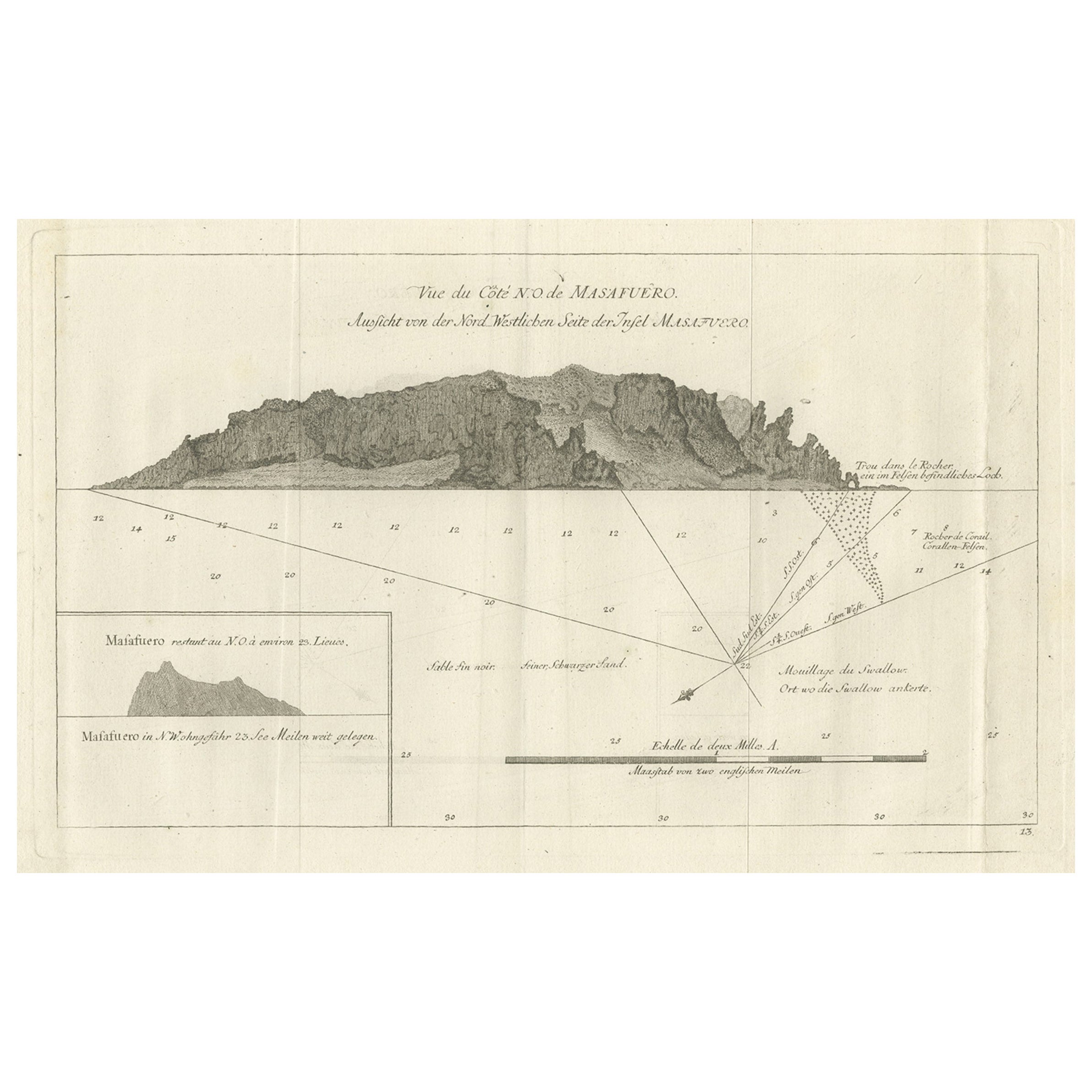
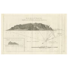
Old Print of the North-West Coast of Masafuero or Alejandro Selkirk Island, 1774
Located in Langweer, NL
Antique print titled 'Vue de Cote N.O. de Masafuero'. Profile view of the north-west coast of Masafuero. It also shows the anchorage of the Swallow and depth soundings. Originates fr...
Category
Antique 18th Century German Prints
Materials
Paper
$277 Sale Price
20% Off
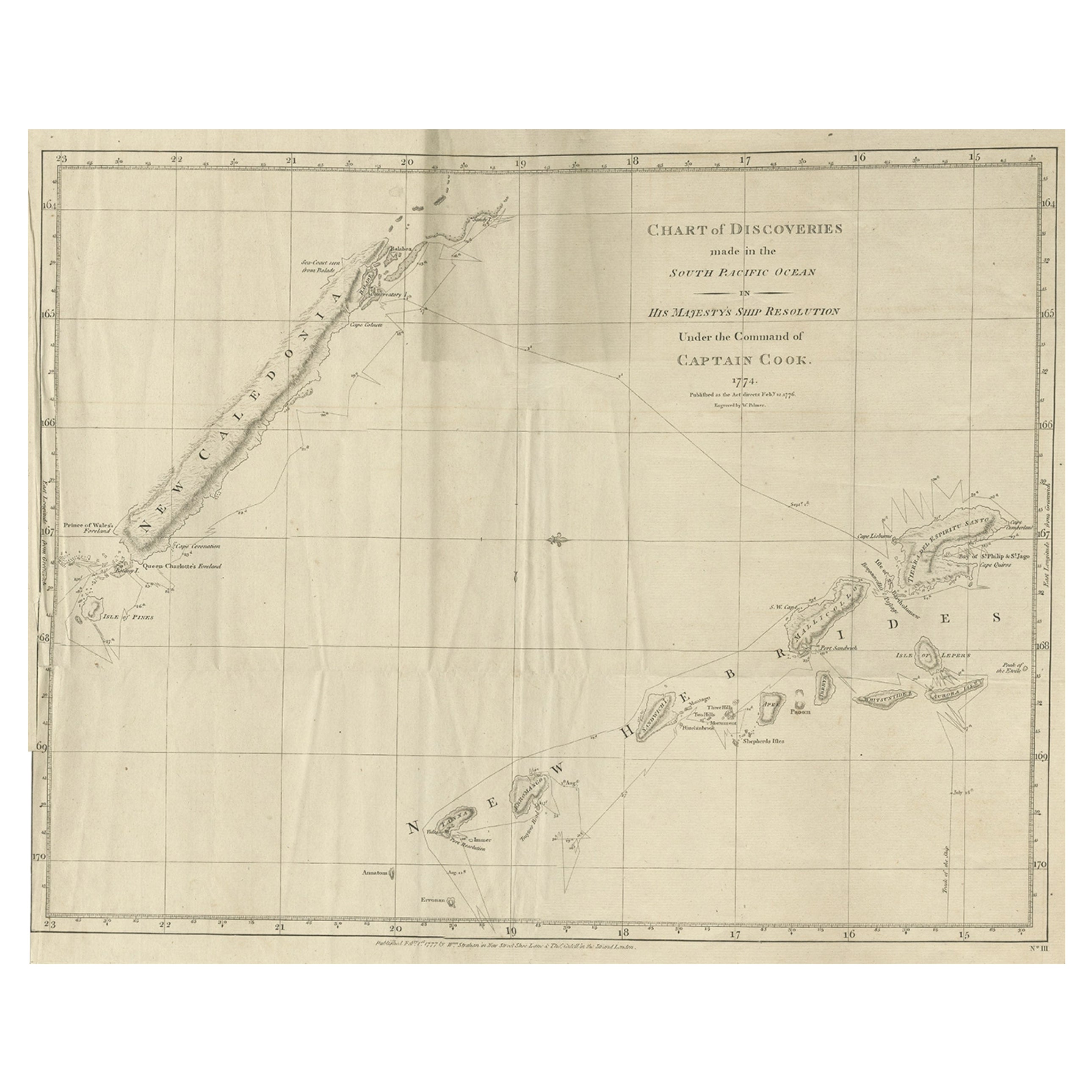
Rare Engraving of New Caledonia
New Hebrides from Capt. Cook
s Travels, 1777
Located in Langweer, NL
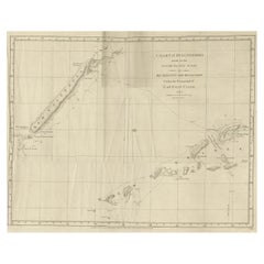
Antique map titled 'Chart of Discoveries made in the South Pacific Ocean'.
Rare engraving from the official British Admiralty sanctioned edition of the accounts of Cook’s second voyage. All other later copies made of this image by other publishers were unauthorised, usually smaller and inferior in quality. Made after Cook's discovery of the island group on 4 September 1774, which he named New Caledonia...
Category
Antique 1770s Maps
Materials
Paper
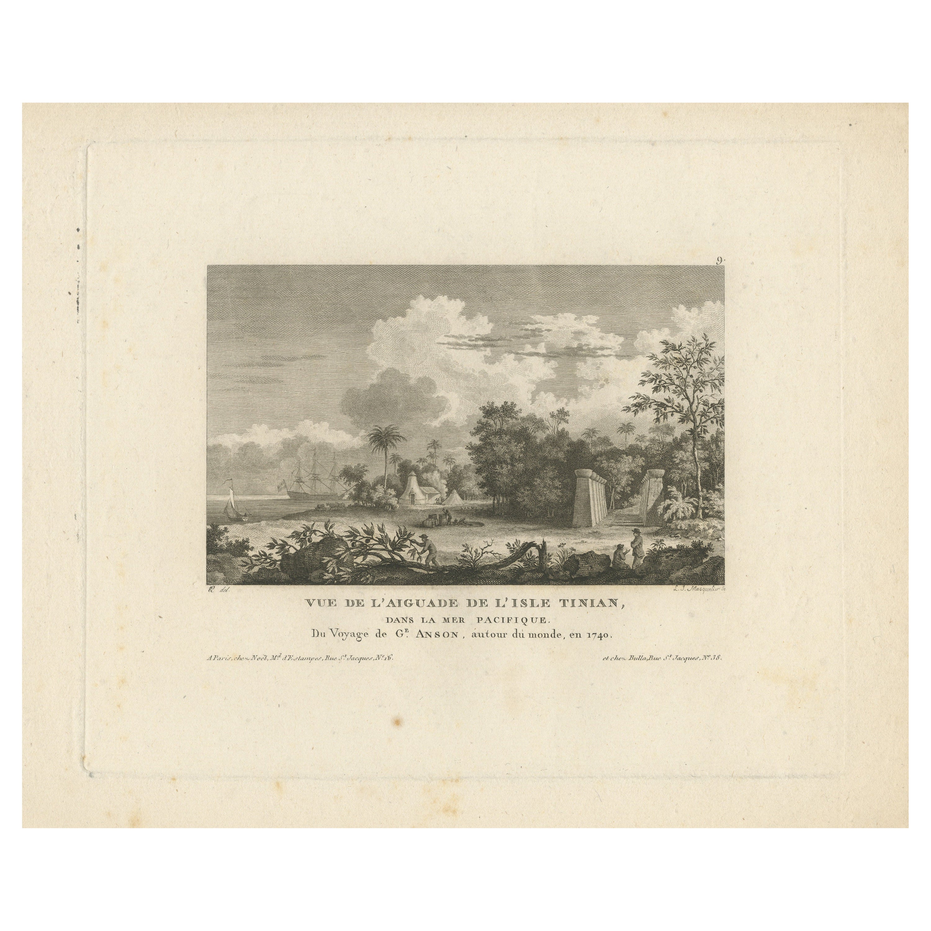
Antique Print of Tinian Island, Part of the Northern Mariana Islands
Located in Langweer, NL
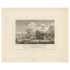
Antique print titled 'Vue de l'Aiguade de l'isle Tinian.View of Tinian recorded during the journey of Lord George Anson, Mariana Islands. This print originates from 'Morgenblatt für ...
Category
Antique Mid-19th Century Prints
Materials
Paper
$306 Sale Price
20% Off
You May Also Like
La Pointe à Pitre prise du Morne - Original Lithograph - 19th Century
Located in Roma, IT
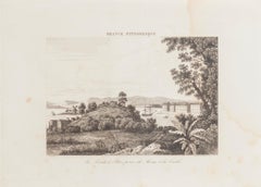
La Pointe à Pitre prise du Morne is an original lithograph realized by an Anonymous artist of the 19th Century.
Realized within the series of "France Pittor...
Category
19th Century Landscape Prints
Materials
Lithograph
Map Of The Island Of Cuba - Guillaume Thomas Raynal (1711-1796)
Located in Porto, PT
This historical map of the Island of Cuba was produced in the late 18th century and is taken from an edition of “Atlas de toutes les parties connues du globe terrestre” by the French...
Category
Antique 18th Century Prints
Materials
Glass, Paper

Very Large Hand-Drawn View of St Iago Cape Verde, by Frederici, 1783
Located in Amsterdam, NL
Johann Christian Friderici [= Frederici] (Heldburg 1766 - Cape Town 1804)
Prospect van het eyland, en de rheede van St. Iago. Geteekend van Johann Christian Friderici / Verbeelding van de inwoonders op St Iago
(View of the island, and the roadstead of St. Iago. Drawn by Johann Christian Friderci / Depiction of the inhabitants on St Iago)
?Porto Praia, Cape Verde...
Category
Antique Late 18th Century Cape Verdean Dutch Colonial Maps
Materials
Paper

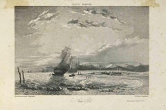
France Maritime - Lithograph by Camille Roqueplan - 19th century
Located in Roma, IT
France Maritime is an original print on paper realized by Camille Roqueplan in the mid-19th Century.
Signed on the plate and titled.
engraving.
Good conditions, with foxing.
Category
19th Century Modern Figurative Prints
Materials
Lithograph
Map Of Martinique - Etching - 19th Century
Located in Roma, IT
Map Of Martinique is an etching realized by an anonymous engraver of the 19th Century.
Printed within the series "France Pittoresque" at the top center.
The state of preservation o...
Category
19th Century Modern Figurative Prints
Materials
Etching

1844 French Antique Nautical print Engraved Portolano of Syrie by Antoine Roux
By Antoine Roux
Located in Milan, IT
Antique portolano, nautical map of Syrie engraved on a copper plate by Antoine Roux, Marseille France 1844, from his work Recueil des principaux plans des ports et de Rades de la Mer...
Category
Antique 1840s French Nautical Objects
Materials
Paper
More Ways To Browse
Antique Bed Warmer
Antique Bell Clapper
Antique Brass Wall Hooks
Antique Bronze Ware
Antique Chinese Porcelain Statues
Antique Chinese Soapstone Carvings
Antique Dragon Ring
Antique Faux Bamboo Chest Of Drawers
Antique French Glass Domes
Antique Furniture Cyprus
Antique Game Rack
Antique Glass Cloche
Antique Glass Pedestal Bowl
Antique Glass Planters
Antique Leather Bucket
Antique Paper Roll
Antique Primitive Blanket Chest
Antique Side Saddle